


design your own geography buffet
Researching various world geography curriculum and quickly, and rather shockingly realized that it’s just as complex as language arts! There are so many variables in geography:
- map reading / navigation skills (compass rose, latitude/longitude, magnetic north, scale, distances etc.)
- physical geography (weather, land formations, erosion etc.)
- different kinds of maps (political, geophysical, weather, nautical, landmarks, populations, economic etc)
- cultures around the world (people, government, religion, traditions, art, music etc)
- locating continents, countries, capitals, seas, oceans, rivers, borders, hemispheres
- and more….
This means that a) you need a large variety of resources, b) how to fit it all in during the week, c) to buy it all… can get pricey quick or d) reserving enough resources in advance with your library could lead to disorganization and unexpected hold waiting times = frustration.
To just cover it all with one big purchase – My Father’s World – Exploring Countries & Cultures looks fantastic. However, it’s so complete that we wouldn’t have much time to do all the other subjects I prefer to cover on our own without an all-in-one program. I tend to nit pick and want to change too many aspects of all-in-one purchases that it keeps me from jumping in….
Many of the geography spines that seemed very interesting all pointed to additional resources to buy or borrow. Ones that caught my eye included:
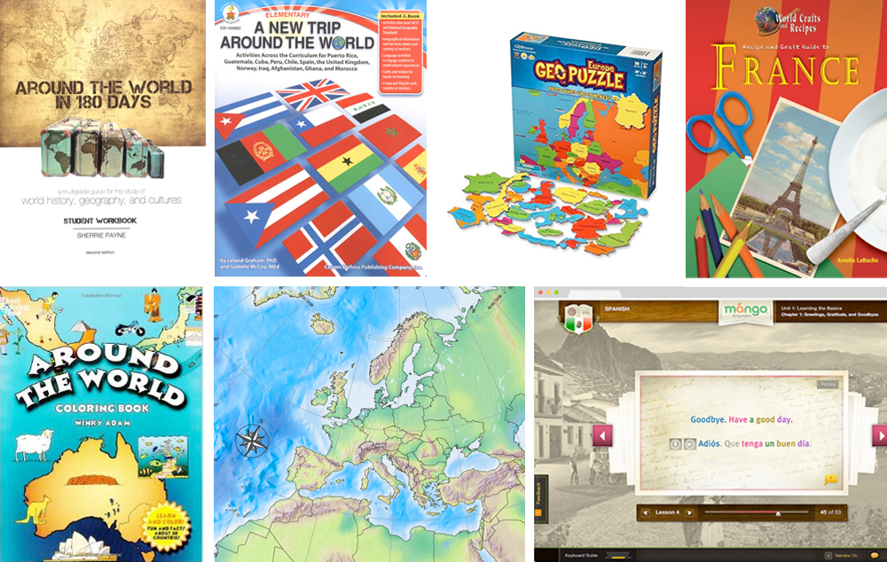
Trail Guide To World Geography
An inexpensive fun comprehensive program I found on a blog:
Expedition Earth (younger grades, fun, casual)
I keep telling myself ‘why re-invent the wheel when you can just buy it?!’
Silly reasons and because I didn’t want to commit to just one… or two… or three….
Some felt too factual – fill in the blanks. Others felt too ‘this is how you can study geography and have a great time doing it…. but this is still not a geography program.’ Some didn’t cover any cultural aspects. Some were mostly outline maps. Some felt too vague or brushed over. I already own WonderMaps… why pay for a program with more map outlines? With all of them…. I’d still have to buy extra resources. I want to make my kids their own ‘passports’ in my own way…. and then there’s the idea that all of this information can be gathered for free still from the library and internet. So I started digging around for valuable online resources for things like:
- coloring sheets for flags, countries, animals
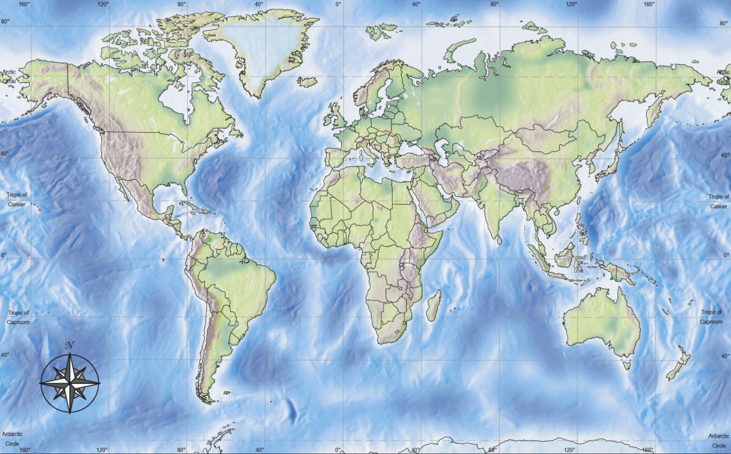
- maps (I already own WonderMaps which is great but there are some good free ones online too) This is an incredible resource for free – National Geographic – Maps
- information points per country
- photos about each country, people, currency, flag in color etc.
- international recipes
- wonders of the world
- art
- music
So now what?!
Well, right now I’m leaning toward an approach that will suit my kindergartener and my fifth grader in different ways.
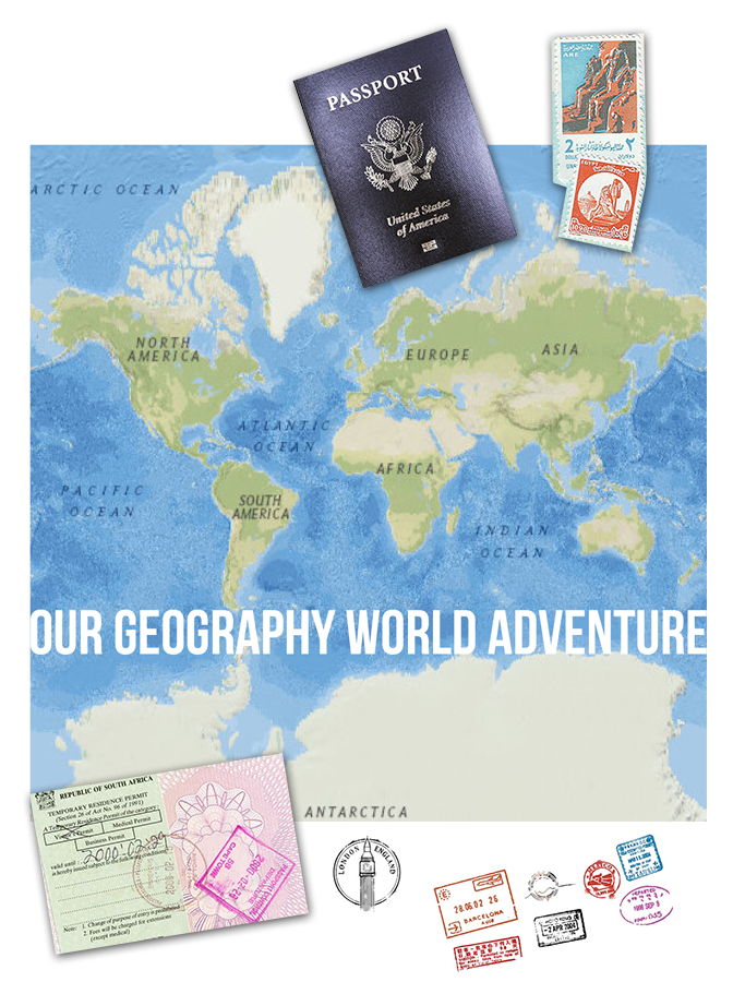
Together, we’re going on an international journey.
- We’ll stamp the passports I’ve made from scratch, label country, continent it’s in, paste a flag in, note capitol. Color in the country on the world map page.
- Find the location on our globe, on our world map sheet, and on GoogleEarth.
- Color the flag. (another resource here.) Read about it’s symbolism. (http://list25.com/25-national-flags-and-their-meanings/)
ooh – just found this ! This might be the best resource for flags – and maps: http://www.mapsofworld.com/flags/ - Possibly an all-in-one coloring sheet for younger child
- Color, label the outline map for cities, landforms, rivers, bodies of water, major landmarks, Wonders of the World etc.
- Look up certain features that are interesting (ie. glaciers, fjords, waterfalls etc)
- Read about common information about the country (currency, people, religion, government, key figures in history etc) www.worldatlas.com
- Find animals, insects, birds that are native to that region – color or print out.
- Listen to music from that region
 Translate some common words into the foreign language Check out Mango languages through our library online.
- Art project(s) that relate to the culture or history of that country (library – or my own art history resource book from college)
- Draw, cut & paste favorite memories or features that stood out from that country as a collage poster or postcard
- Play with GeoPuzzles and ipad Stack the Countries app
- Read historical fiction or non-fiction related to the region (library)
- Make a recipe or meal that’s popular or traditional of that country (so many international cookbooks at library or look online) Have even found library books with country info, culture info, recipes AND arts/crafts projects per country all-in-one!! The library doesn’t have all of them – but Amazon does…
- Perhaps make a ‘Flat Stanley’ and mail to friends/family in the UK, Canada, Dubai, Australia, Holland… or borrow friends of friends…. ;D
- To cover nuts & bolts of geographical literacy – 5th grader will work through a general work book such as Daily Geography or Discovering the World of Geography
Now that it’s listed out… um, that’s a lot … just like a My Father’s World curriculum… but customized to what I think might be fun for my kids. Perhaps we do this for more than 1 year or just not try to do every activity. Divide out the continents, pick out the major countries and split it up varying it from 1 week to multiple weeks. Either way, it was helpful to get this from my brain to a list. 😉
Feel free to share your favorite ideas and resources below!

0 Comments
Trackbacks/Pingbacks